- Great Basin LCC CPA |
- About the GBLCC CPA
About the GBLCC CPA
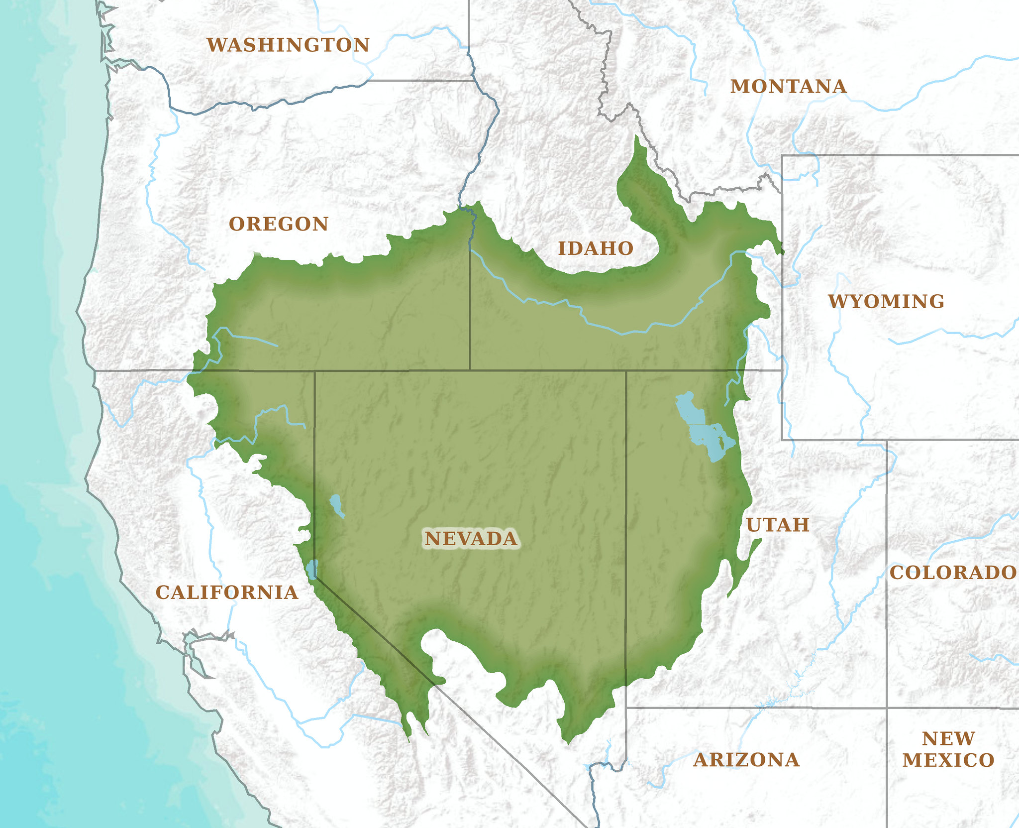
The Great Basin LCC is one of 22 LCCs in North America and is a partnership among public and private groups working to meet large-scale conservation challenges across five states. We promote management based upon science and traditional knowledge that enables human and natural communities to respond and adapt to ongoing change. Our partners include a variety of groups committed to conservation, such as Native American tribes, universities, non-governmental organizations, and federal, state and local government agencies.
The Conservation Planning Atlas (CPA) is designed to make accessible and usable the geospatial data and resources that our constituent groups need to inform their decisions. Through this portal we plan to host decision support tools and important regional datasets that touch on a number of key conservation issues, including:
Part of the beauty of the Data Basin interface is that it is designed to be collaborative. Users contribute content by uploading shapefiles and providing metadata or referencing data in ScienceBase. We welcome your contributions and are eager to work with you on integrating them into the CPA. For example, If you are part of a group working on a decision support tool for a subregion of the Great Basin, or if you are a researcher gathering wildlife telemetry data or modelling habitat connectivity using LANDFIRE data, we want to work with you to upload your data in Data Basin. Finally, Data Basin Groups are designed to help your teams collaborate on data products and publish data online. If you’d like help setting up or optimizing your group on Data Basin or featuring your group on the CPA we’re happy to help.
For more information or to suggest content for the CPA, contact:
Eric Jensen
Email: ejensen@thegreatbasininstitute.org
Phone: (360)595-4045
- Wildlife and Habitats
- Climate and Weather
- Landscape Resiliency
- Traditional Ecological Knowledge (T.E.K.)
- Decision Support
Part of the beauty of the Data Basin interface is that it is designed to be collaborative. Users contribute content by uploading shapefiles and providing metadata or referencing data in ScienceBase. We welcome your contributions and are eager to work with you on integrating them into the CPA. For example, If you are part of a group working on a decision support tool for a subregion of the Great Basin, or if you are a researcher gathering wildlife telemetry data or modelling habitat connectivity using LANDFIRE data, we want to work with you to upload your data in Data Basin. Finally, Data Basin Groups are designed to help your teams collaborate on data products and publish data online. If you’d like help setting up or optimizing your group on Data Basin or featuring your group on the CPA we’re happy to help.
For more information or to suggest content for the CPA, contact:
Eric Jensen
Email: ejensen@thegreatbasininstitute.org
Phone: (360)595-4045


